
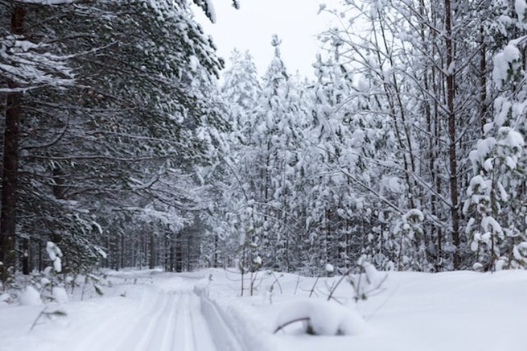
An extreme cold weather alert was issued on Monday by Environment Canada from the Prairies to Labrador and blanket northern Ontario.
The lower Great Lakes area had been inflated with a blast of arctic Thursday night bringing cities like Toronto their coolest temperatures of the season so far.
With its coldest period of weather between Friday pre-dawn and Saturday pre-dawn, Toronto may not see temperatures climb out of the minus double digits all day.
While there were several days last January when the temperature dipped to -20 C, the last time the temperature fell below -22 C in Toronto was Jan. 31, 2019.
Besides the core temperatures of Toronto being of concern, with the windchill it could feel close to -30 C at the peak of the cold spell which increases the risk of frostbite to exposed skin.
Toronto's record low for Feb 3 is -25 C (set back in 1955) and for Feb 4 expected to be -24.4 C (set in 1946.).
This extreme cold snap in the GTA is expected to be relatively short-lived and the temperature is forecast to be back above freezing by Sunday, and into the mid-single digits by next week.
(Reporting by Asha Bajaj)